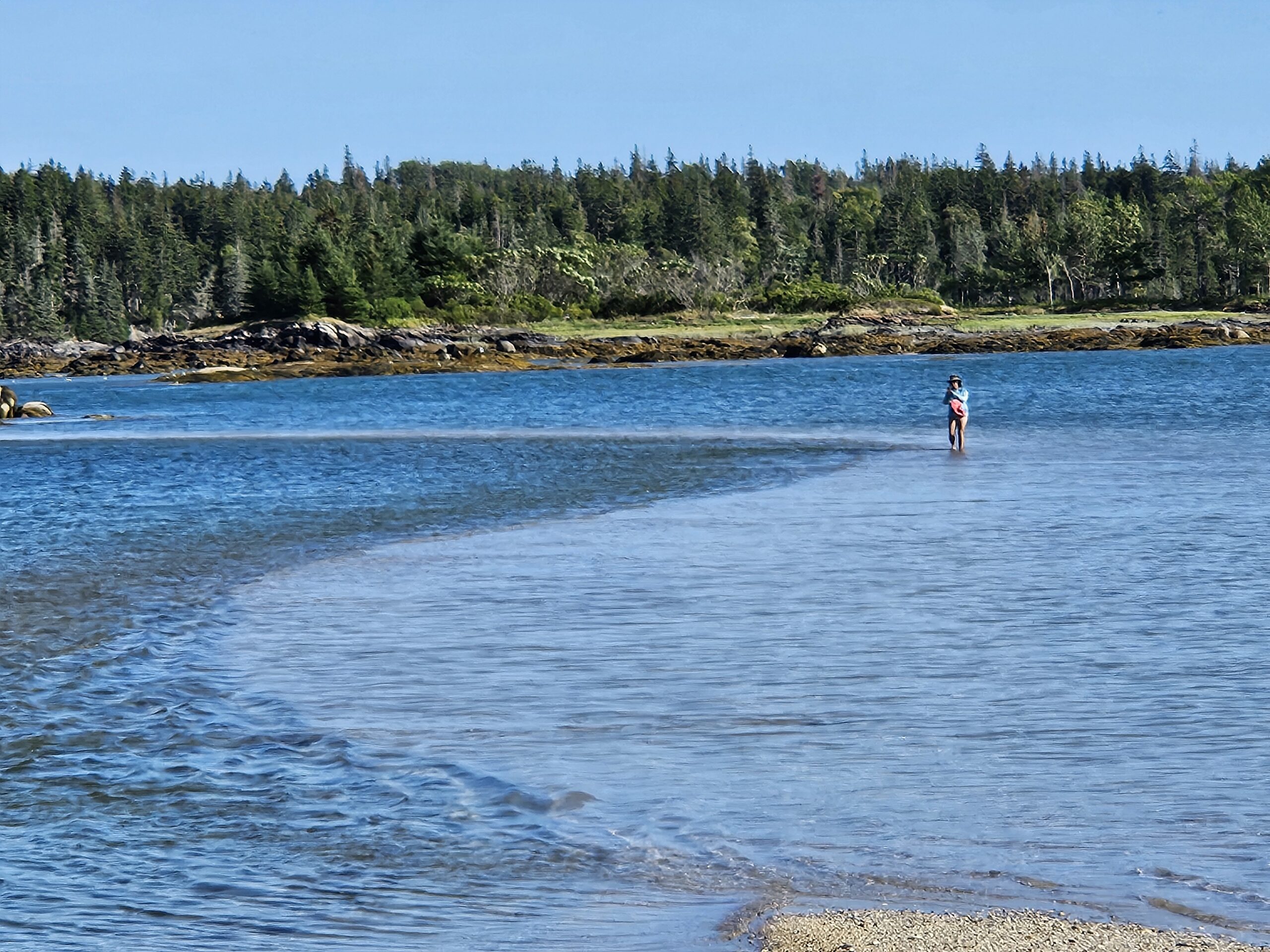
We Start Home. Slowly.
After Swan’s Island, even though it’s still only about mid-August, we start planning our return trip. We need to be in North Carolina by the first week of October, and we don’t want to have to jump on marginal weather windows, so we make a plan that gives us a (we hope) generous timeline.
First stop is Buck Harbor, which we reach via Eggemoggin reach. We sail by the wooden boat school, and sail all the way to Buck’s which means, since the wind is light and squirrely, we don’t arrive at Buck’s until late in the day. It is so crowded, we are dismayed, and decide to move on the very next day – destination: Searsport.
Searsport
We decide on Searsport, which is more of an open roadstead than a harbor, because it’s not crowded and has a handy laundromat nearby. We call the harbormaster but discover our cruising guide has the wrong number listed. The number is for none other than Wayne Hamilton of the famous Hamilton Marine! He kindly gives us the new harbormaster’s number, and also offers the use of his mooring, a stone’s throw from the public pier! His words, “I want you to come visit Searsport!” We’re not too worried about the exposure of the open harbor because the weather is very settled, but also there are a couple of good coves nearby to which we could quickly run if the weather unexpectedly turned sour.
Going into town, we make a number of happy discoveries:
- the laundromat has brand new machines and is very reasonable
- the small grocery, next to the laundromat, has most of what we need
- there’s going to be a free concert by the Katahdin Valley Boys while we’re there (will be disbanding for awhile to spend more time with families)
- there’s a bluegrass jam session (bring your own acoustic instrument) on Saturday nights at the “Mermaid Plaza”
We knock out the laundry in short order, and restock the galley. We walk up to the Hamilton Marine (about a mile up the road) and have a great time sorting through the clearance aisle. Adrian buys enough dime bags of Dyneema cord to hog-tie a tyrannosaurus, and we buy a few other knick knacks we didn’t even know we needed.
On Saturday night, Adrian brings his guitar to the Mermaid Plaza Bluegrass Jam session and plays along with numerous bluegrass ditties. This thing is very informal, and basically, someone shouts out a key, and then we all play whatever song in that key. At one point, the leader goes around the room and asks individuals what music they brought along. They land on Adrian, and, being more folk than bluegrass, “Red River Valley” comes out of his mouth. Not really bluegrass, but it’s good enough. The next 5 minutes are a lively, bluegrass version of Red River Valley, complete with fiddle, mandolin, ukulele, banjo, standup bass, and a number of guitars. So much better than Karaoke! For anyone interested, there’s a bluegrass camp – the Vacationland Bluegrass Camp – (literally, a campground) just up the road to which you can sign up, camp, and learn how to properly play bluegrass from some of the greats. I think you need to be able to play an instrument first though – they won’t teach you how to play the guitar.
We meet Eric and Tamara – friends of Angie’s whom she met at work – for some beer and then walk up to the church together to listen to the Katahdin Valley Boy’s last concert. It’s an odd setting for bluegrass music, but it works. Acoustics in the church are quite good, and the band is excellent.
Also worth mentioning in Searsport is a bakery/gift shop named “The Mercantile”. We fell in love with their hand-pies, and those became our dinner (and breakfast) for a couple of days.
Warren Island
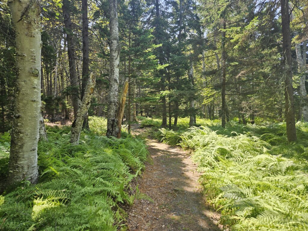
From Searsport, it’s a relatively short distance to Warren Island, near Islesboro. Warren Island is a nature preserve and has camping and trails. There are substantial moorings in a tight little cove, and you could sit out a real snotter of a blow here, as long as it’s not right out of the northwest. On the island, there’s a caretaker who greets you, and there’s an honor system can into which you can drop some money for the use of the mooring. Also on the island is a thriving colony of mosquitoes, and the park service actually offers the use of bug spray they’ve collected over the years from other cruisers (who left them behind). Coming from North Carolina, we’ve seen worse; however, they’re there, and they’re voracious. But the trail around the island is not to be missed, and the mooring is in a nice, quiet place. We watch the Perseid Meteor Shower from there, but we’re a day early and there’s a ferry dock at Islesboro that keeps its lights on, so we don’t see that many meteors. But we see some.
The next morning, we made our way over to Cradle Cove, which is within sight of Warren Island Cove, but has plenty of anchoring room. The only thing here is the Dark Harbor facility, which has a marine railway and seems to have everything needed to do fantastic craftsmanship. We are considering leaving Canto here one weekend for a facelift, but their marine railway may not be up to the task of hauling a boat the size of Canto. If they could, we’d be in a heated shed where they could do the varnish and paint Canto needs to look her best.
From Cradle Cove, we wake up at 2am and pull some chairs out onto the foredeck to watch the Perseids, and we’re not disappointed. We see meteors of all sizes! And now we can identify the Perseus constellation and know how to find it. Wonderful!
Seal Bay, Vinalhaven
We depart Cradle Cove for Seal Bay, Vinalhaven. We cross over the top of Vinalhaven, mostly sailing, but opt to motor the last bit due to light air from the wrong direction. Getting into Seal Bay is not for novices – it is unmarked and you have to pass very closely by keel-eating rocks. Ironically, the best time to make an approach here is at low tide, when you can at least see the keel-eaters.
We arrive, anchor, and we’re in paradise. Not only is the harbor well-protected, but its natural beauty, with seals, eagles, fish, rocks and nature, is really 10 out of 10. It gets super dark here at night, and the tail end of the Perseid metor shower here is even more spectacular due to the darkness. One can even see Andromeda with the naked eye. The Milky Way is vivid.
Tucked away in one cove is the head of the Huber Trail. It’s not very long, but it’s fun to go. Word of caution: go with at least half tide as low tide exposes a vast, sucking mud flat which (reportedly) is waist deep and very sticky.
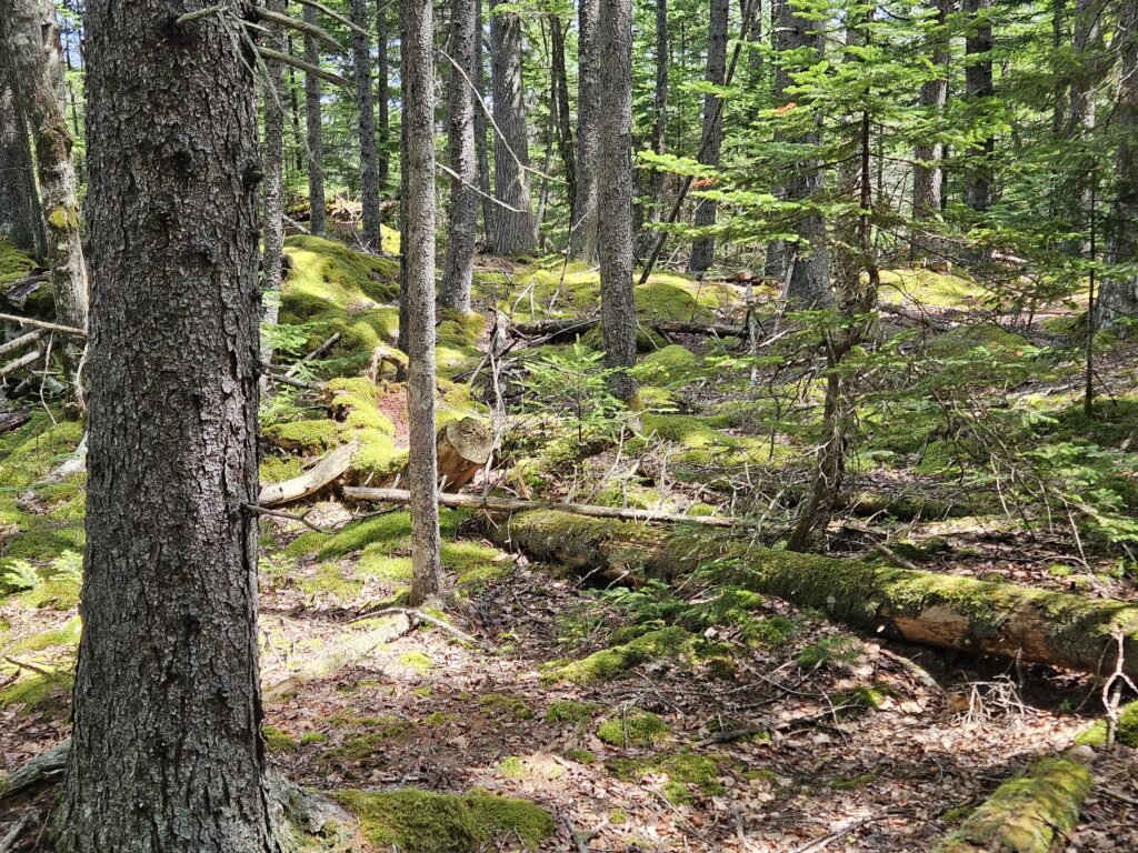
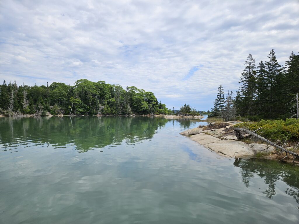
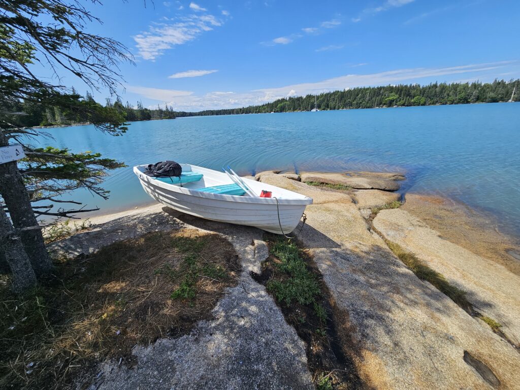
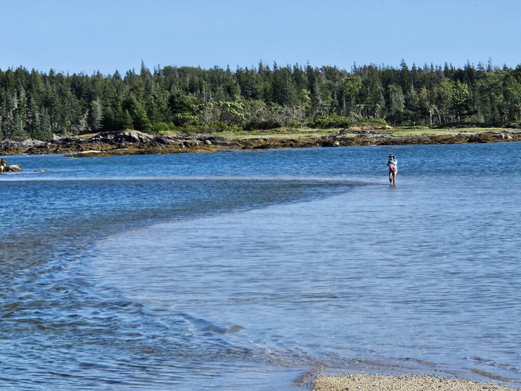
We love it here and spend 3 nights. One day, we take the Walker Bay all the way up the harbor, taking soundings as we go. We draw up a small chartlet and are confident we could work our way into the “hurricane hole” part of the anchorage in the future, should the need ever arise.
Another day, we row to the Turning Rock at low tide and collect periwinkles. Preparing periwinkles for eating is a lot of work – cleaning, boiling, picking. And then, the product of all that is honestly not that appetizing-looking. Adrian eats most of the periwinkles on crackers, and Angie makes a chowder into which the remainder are placed (and, again, eaten by Adrian). Angie maybe has 4 or 5. We probably won’t harvest any more.
Seal Bay a magical place, well-protected from high winds, and the holding is superb. We could easily have spent more time here.
Rockland
We have reservations at the Safe Harbor in Rockland for a complimentary mooring. We go there with the intention of getting fuel and water, and just kind of exploring Rockland. The mooring we are assigned is almost a half mile out from the marina landing, so it takes us a full 20 minutes to row to shore. There is a launch, but it’s $10 per person per day. BUT it turns out there’s another Jam Session (not limited to Bluegrass this time) in town, led by none other than Captain Jim Sharp, who skippered the schooner Adventure (now serving as a head boat in Gloucester) for years.
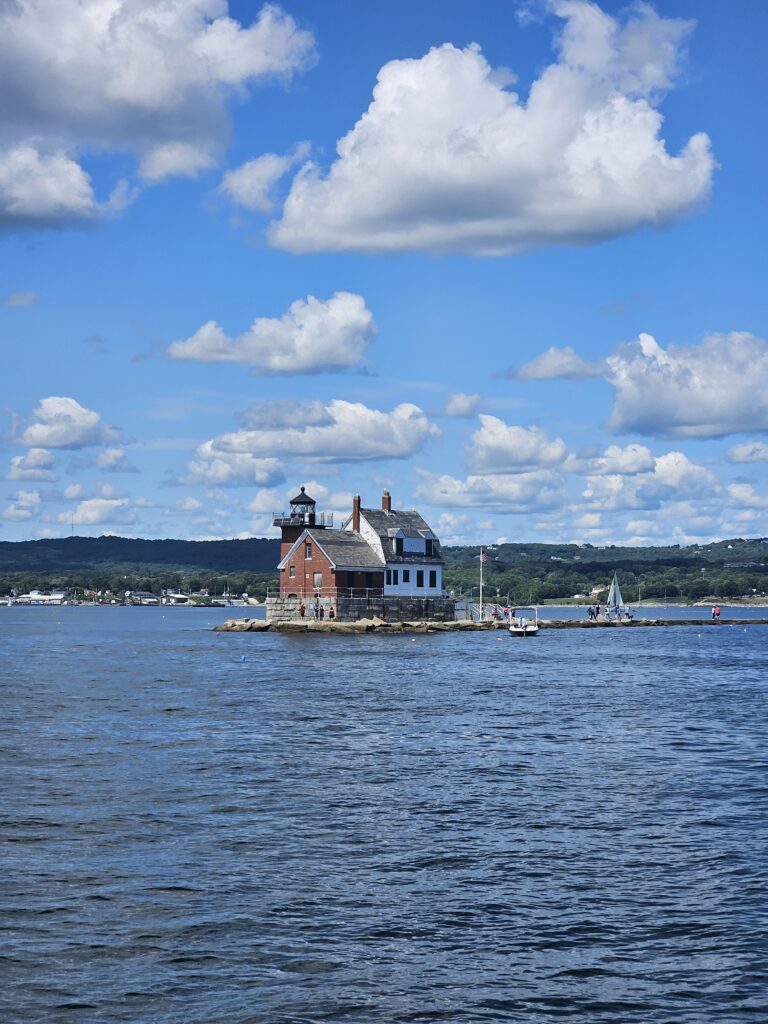
The Jam Session is very popular – there are some 50 people there, mostly spectators. About a dozen musicians. I brought my Baby Martin. Jim went around the room and each musician had the opportunity to pick a song – any song – and play it, and others would fall in. My turn came twice. First time, I play “Leroy Brown” (Jim Croce), and second turn I selected “Down on the Corner” (CCR). These were apparently well-received judging by the applause. Before playing, we have to say something about ourselves. I mention we’re on a boat, and that I rowed over with my dreadnaught guitar, but it got splashed and shrank into the Baby Martin currently in my lap. Later, Jim picks on me with an improvised song, “Mama don’t allow no pygmy guitars round here….” We have a lot of fun.
In Rockland, we have our heel zincs replaced by Fields Dive Service. Diver and skipper come out on a big barge-like platform and the diver spends some 20 minutes replacing the heel zincs. Not a job for weaklings – the harbor is choppy, Canto is hobby-horsing and rolling, the water is 60 degrees. Somehow the diver loses nothing – no tools lost, no nuts lost, no zincs dropped – I don’t have any reservations recommending Fields if you need something done to your bottom. I have SCUBA onboard (although only 500 PSI left after the Great Swan’s Island Adventure from the previous blog entry), but in my opinion, this was money well spent.
The other chores are to refill our water (we’re down to the last 40 gallons or so, having last filled up in July in Portland), and fuel. This trip is an adventure because we bump a rock – probably a “ghost mooring” – mid-channel enroute to the Landings Marina, where we can get fuel at a Safe Harbor discount. It scares us, and the water is very shallow at any rate. Lesson learned: if you must go at low tide, take the MAIN channel.
Finally, Safe Harbor has a very swanky courtesy car (late model Ford Explorer) that we may use for 2 hours. We visit: A Goodwill, a bank, Hannafords.
It is at Hurricane Island that our bilge pump switch malfunctions: it kicks in, but does not stop running. After trying a few other things (cleaning the strainer, cleaning the siphon break), we resign ourselves to pulling the bilge stalk out and giving it a proper cleaning (there’s a lower screen which strains the bilge water, which is clogging, and the switch itself gets confused by bilge schmutz after a few years, and benefits from a cleaning). Two hours later, it seems fine once again. Typical boat maintenance.
Rockland is a good stop, but I wouldn’t recommend it if there’s any sort of Nor’easter coming – the moorings are too exposed in my opinion. (That said, there are plenty of boats there that stay on their moorings in all weather.)
North Haven, Vinalhaven
From Rockland, we decide to head to Hurricane Sound on Vinalhaven and pick up a ball at Hurricane Island, but as we approach, we can see that Hurricane Sound is shrouded in thick fog. This is not what we want, so we head up to Southern Harbor. Wide-open to the southwest, we are OK with that because we’re in settled summer conditions, and southwest wind should remain light. Plus (it turns out) the holding ground is most excellent. We pick Southern Harbor because a). it’s not filled with moorings, and b). there’s no crowd (North Haven is very crowded).
We drop the anchor off of Trafton’s Why Knot wharf, and they cheerfully agree to allow us to land a dinghy even though we’re not on one of their moorings. The walk into North Haven only takes about half an hour. Once there, we have some of the most excellent pizza and beer we’ve ever had at the Calderwood Hall Pizza and Brewery. North Haven also has numerous galleries which are well worth visiting. Alas, we’re too late for the Market (we’re running low on chocolate at this point).
Hurricane Island
We decide to make another try for Hurricane Island, located on Hurricane Sound. Perhaps, if the weather holds out, we can go from there to Matinicus. We’ll see.
While the fog is filling-in, it’s not thick on this day, and we can easily see Hurricane Island once we’re within a couple of miles
Hurricane Island was once home to the Hurricane Island Outward Bound School, but that group moved elsewhere in 2006. It is, however, still home to Hurricane Island Center for Science and Leadership. The island is completely off-grid, relying on solar, collected rain water, and composting. Respectful visitors may visit for a small fee (they have solid 5 mooring balls at this time), payable by honor system.
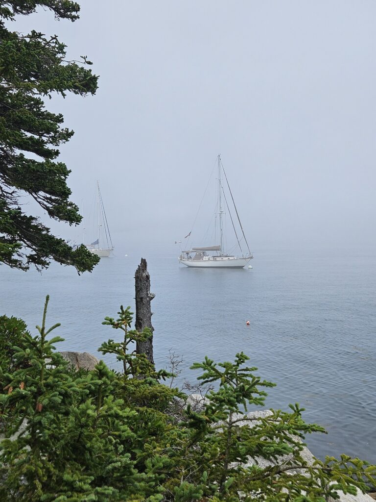
We tour the island, but as it is an increasingly foggy day, the views are a pretty limited. There’s a trail map which we follow around to the northern end of the island, then back south along the western side, up a water-tower hill, and a lookout perch. Since it’s foggy, the lookout perch (very comfortable) looks out into a white, blank nothingness. We circle the drinking water reservoir at the island’s rock quarry (before concrete became the norm, the Hurricane Island stone was top quality and highly prized, and can be found in buildings and streets across the US and in Cuba), including the Washington Monument.
Back at the pier, there is a kiosk in which you can buy hats. No one is there – again: honor system. Angie and Adrian both buy a “Hurricane Island” hat. Not only as a memento, but they’re objectively cool hats, with the two gale flags as an emblem to indicate “Hurricane.” We figure we’ve kind of earned it.
We get back to Canto and there are now a couple of other boats moored nearby. One new neighbor is a very-pricey catamaran, and the crew of 5 is loading into a tiny rubber dinghy and apparently planning to motor over to Old Cove Harbor. While only about 1.5 miles across Hurricane Sound, the fog is very thick by now, and there are still ferries running at high speed to and from Vinalhaven through the sound, and the sound is open to the ocean – with significant current. As far as we can tell, the dinghy has no AIS, makes a poor radar target, there’s no cell reception, and we don’t think a flashlight and a whistle will save them from being clobbered by a high-speed ferry. It is a dinghy of fools. Adrian is sufficiently moved to enter the event, time of departure, and their apparent heading, into the log. We make it a point to check up on them again later, to make sure the dinghy’s back!(So, they apparently made it back. A late good friend once told me, “God takes care of drunks and fools.” This group may have been at the intersection of both sets).
Matinicus Island
We check and double-check the forecast. It looks like we could scoot out to Matinicus and be set for a wind shift to the north which would make it good for running down to Gloucester, MA. Matinicus is pretty well protected in prevailing summer southwesterlies, and in fact looks OK for everything except moderate-to-strong NE and E winds. The forecast does call for NE, but light. We figure we can go to Matinicus and either endure the NE wind when it comes, or just slip the mooring and start our offshore run to Gloucester.
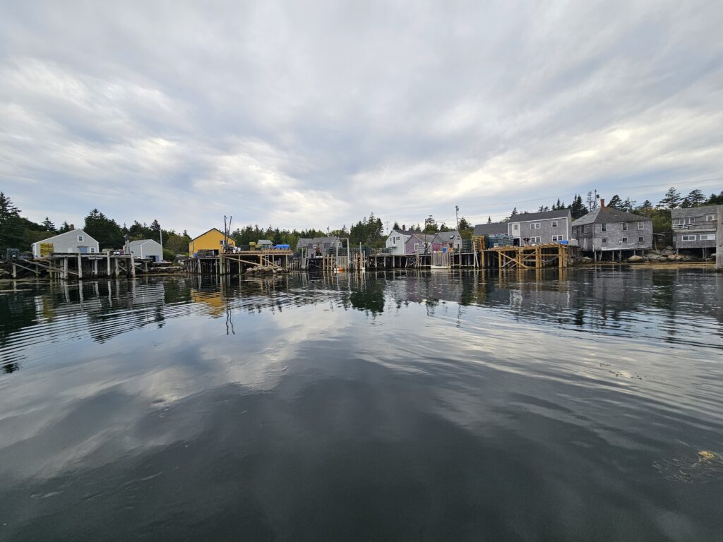
So, we head for Matinicus.
This is a beautiful island. It is a bit rustic, isolated, somewhat desolate, rough around the edges, and is a working harbor, but is worth the visit. An enterprising fellow has put guest moorings in and, while they see very closely spaced, locals say there’s never been a problem with them, even in a strong blow. That said, we are being very careful. We’re on an island in the ocean. The nearest true shelter is 12 ocean miles or so away.
There is no cell service out here at all, and the only working wifi is at the public library – a small structure with a small selection of books and two swivel chairs. Very charming. We have brought the books we’ve finished and donate them. We also make a donation to the library fund (there’s a box for that). And we keep walking. We visit a cute gallery, and the Post Office (which, while it closes at 2:30pm, stops selling stamps at 2:00pm. ?!). Consequently, we are now getting our weather via HAM SSB. Specifically, the NWS forecast ANZ800 for Gulf of Maine, and the Winlink GRIB forecast. HAM reception is most excellent, and contacting VE1YZ in Halifax is 5×5 – like he’s next door, so HAM-wise, we’re seeing the best transfer speeds we’ve ever seen: beyond 4000 BPS.
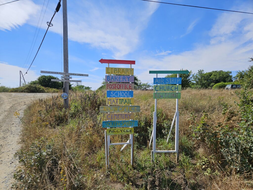
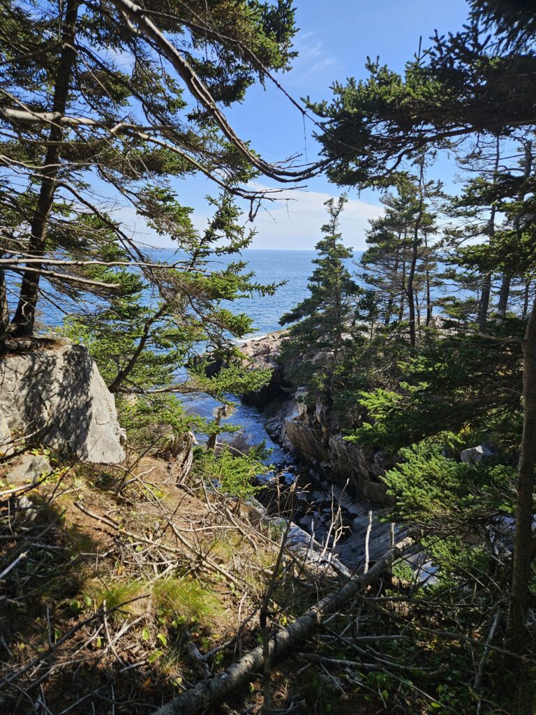
We find the “Matinicus Trail.” This trail goes towards the southwesternmost tip of the island and then, if you’re spry and adventurous and have brought snacks and water, leads eastward around the tip of the island, scrambling over some rocks and re-discovering the land trail afterwards, until you reach a large, very nice, sandy beach with a small staircase at its end. This staircase leads back to the road and ultimately the harbor. It is not a trail for the feeble, but if you’re not feeble, it’s worth the trip. Wear long pants if you’re worried about ticks – you have to wade through the low-lying growth on Matinicus Trail. (Happily, no mosquitoes).
We check the weather again before bed using the SSB. Still green-light for making a jump for Gloucester – northeast to east winds predicted. It looks good for 24 hours, but marginal for 48 after which the forecasts indicate the wind will switch to SW, which is where we’re headed. All we need is 24 hours. We install the jacklines, ship the dinghy on the cabin top, make some off-shore meals, and snacks, put the monitor paddle in, stow loose stuff in the cabin, do a complete round of engine checks and turn in. It is a most peaceful night – the harbor is quiet as anything. (Note: The lobster boats start up around 4am).